Itinéraire raquette des Granges
a Vallorcine
Presentazione
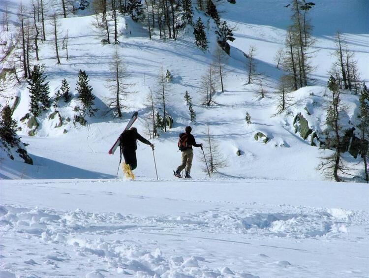
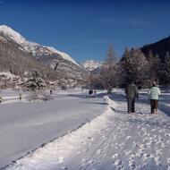
Dalla frazione di Le Couteray, a 1345 m, un'ampia pista sale attraverso le tipiche costruzioni in legno della "Valle dell'Orso", zigzagando nel bosco prima di condurre a Les Granges 1566 m. La discesa porta a Sur le Rocher, poi alla frazione di Lay.
Dislivello: 200 m / Durata: circa 1h20
L'accesso al sentiero è soggetto alle condizioni meteorologiche. Per maggiori informazioni, contattare l'Ufficio di Alta Montagna di Chamonix: +33 (0)4 50 53 22 08.
Distanza
3.5km
Altitudine di partenza
1345m
Elevazione positiva
200m
Elevazione negativa
200m
Durata del viaggio di andata e ritorno
1h20min
Prezzi
Accesso libero.
Date di apertura
Dal 17/12 al 16/04 ogni giorno.
L'accesso è soggetto alle condizioni meteorologiche e ai periodi di rischio esterni. Contattare preventivamente l'Ufficio del Turismo per conoscere le condizioni di accesso attuali.
Con riserva di condizioni di neve et meteorologiche favorevoli.
L'accesso è soggetto alle condizioni meteorologiche e ai periodi di rischio esterni. Contattare preventivamente l'Ufficio del Turismo per conoscere le condizioni di accesso attuali.
Con riserva di condizioni di neve et meteorologiche favorevoli.
Localizzazione
Itinéraire raquette des Granges
Parking du Couteray
74660 Vallorcine
74660 Vallorcine


